PR 1.2 - Vereda do Pico Ruivo
32.764872, -16.921058
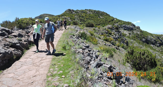
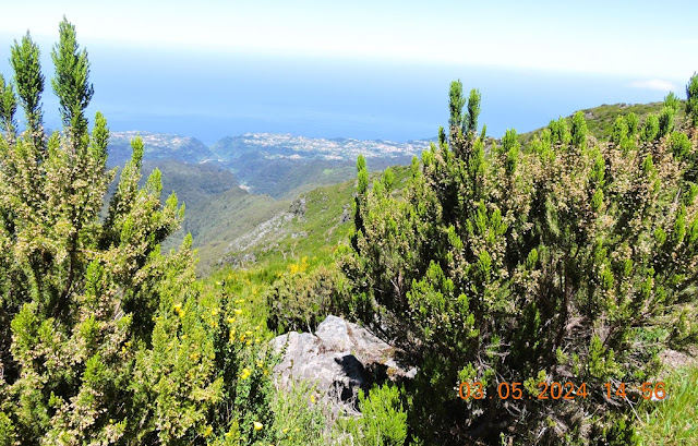
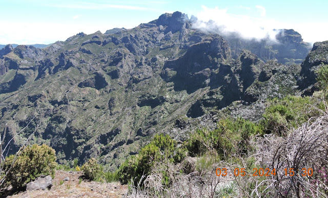
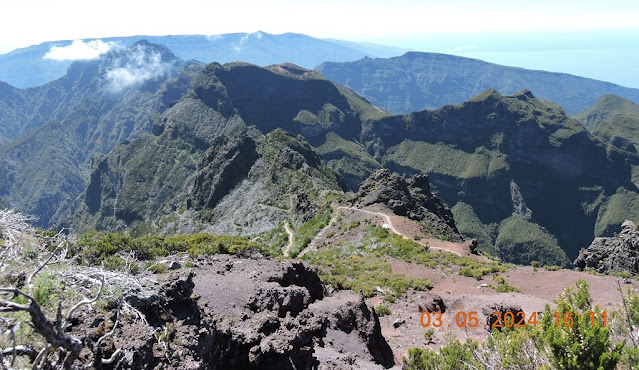
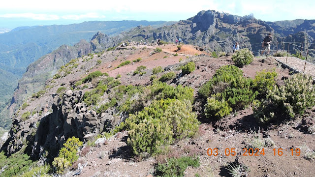
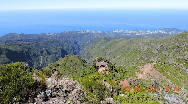
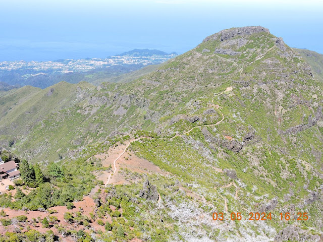
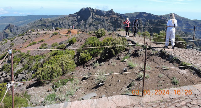
Starting at Achada do Teixeira, this path climbs along the slope that separates the slopes of Faial from those of Santana, until reaching the top of Pico Ruivo. Due to its exceptional natural wealth, this area is part of the European network of sites of community importance – Natura 2000 Network. In this area, meteorological changes are sudden and this area is often immersed in a sea of clouds, which requires extra care despite being a beautiful spectacle.
Distance : 2.8 km (+ 2.8 km return)
Duration: 1h30min
Difficulty: Medium
Max altitude: 1861m
Min altitude: 1535m
Home : Achada do Teixeira
End : Achada do Teixeira
💝💝💝💝💝
SEARCH IN
SANTANA MUNICIPALITY
Return to mainland Portugal and
to the Azores and Madeira islands


















No comments:
Post a Comment